


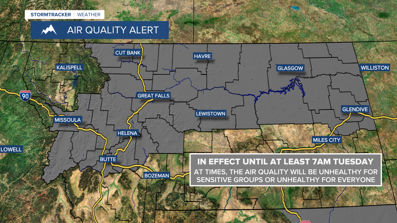
An AIR QUALITY ALERT is in effect for a lot of Montana until at least 7am Tuesday.
A HEAT ADVISORY is in effect for portions of western Montana until 12am Thursday and for most of north-central Montana from 9am Tuesday until 9pm Thursday.
An EXCESSIVE HEAT WARNING is in effect for portions of western Montana until 12am Wednesday and for northeastern Montana from 9am Tuesday until 9pm Thursday.
An EXCESSIVE HEAT WATCH is in effect for southeastern Montana from 9am Wednesday until 9pm Thursday.

A RED FLAG WARNING is in effect for central/eastern Glacier County, Liberty County, western/central Pondera County, and Toole County from 12pm Tuesday until 9pm Thursday.
A FIRE WEATHER WATCH is in effect for portions of western Montana from 12pm until 9pm Wednesday and for southwestern and north-central Montana from 12pm Thursday until 12am Friday.

Widespread haze and smoke is expected to be around for this entire week, and this smoke will be coming from local fires, fires burning in Canada, as well as fires burning throughout the western U.S. This haze/smoke will reduce the visibility, it will cause us to have hazy/filtered sunshine, and it will reduce the air quality as well as the air quality at times will be unhealthy for sensitive groups and/or unhealthy for everyone. If you are sensitive to smoke in the atmosphere, then make sure you limit your time outdoors this week.
We are going to have partly cloudy to mostly clear skies tonight with a couple isolated showers and thunderstorms around the Helena area during the evening. It is also going to be mild tonight as lows are going to be in the 60s and upper 50s in most locations.
For tomorrow, we are going to have hazy sunshine and mostly dry conditions (just a few isolated showers and thunderstorms around during the afternoon and evening). We are then going to have increasing clouds on Wednesday with a few scattered showers and thunderstorms around during the afternoon and evening. It is also going to be very hot on these two days as highs are going to range from 95° to 110° with the hottest temperatures in northeastern Montana. There is also going to be a breeze around tomorrow and Wednesday along the Rocky Mountain Front and in the adjacent plains as well as along and just east of the Continental Divide as sustained wind speeds are going to be between 10 and 20 mph.
There are then going to be some scattered showers and thunderstorms around Thursday afternoon and evening as a cool front passes through our area. Gusty winds are also expected on Thursday as sustained wind speeds are going to be between 10 and 25 mph, and wind gusts up to 40 mph are possible. Due to the combination of hot temperatures, low relative humidity, gusty winds, and lightning from thunderstorms, the fire danger on Thursday is going to be extremely high, so please do your part to not start any new fires. We are also going to have partly to mostly sunny skies and hot temperatures on Thursday as highs are going to be in the 90s and 100s in most spots.
Cooler temperatures are then expected Friday and this weekend as highs are only going to be in the 80s and low 90s, with Saturday being the coolest day. We are also going to have mainly sunny/hazy skies on these three days, with a few isolated PM showers and thunderstorms around on Friday in locations east of I-15 and mainly dry conditions on Saturday and Sunday. It is also going to be breezy again on Friday as sustained wind speeds are going to be between 10 and 20 mph. There is then going to be a little breeze around this weekend as sustained wind speeds are going to be between 5 and 20 mph.
Mainly sunny skies and dry conditions are then expected on Monday. It is also going to be hot and a little breezy on Monday as highs are going to be in the upper 80s and low to mid 90s, and sustained wind speeds are going to be between 5 and 20 mph.


